Our step-by-step approach
Our approach is based on six key steps to design a Web GIS solution tailored to your needs, your data and the realities of your teams’ day-to-day work.

1. Understanding your business needs
We work closely with your users to understand their workflows, processes and operational constraints. We identify the available geospatial data, existing tools and visualisation or monitoring needs to define the features that will genuinely add value.

2. Clear functional requirements
We define the solution’s objectives and priority use cases: map visualisation, search, filters, geolocation, layer management, and asset and infrastructure monitoring. Requirements are structured and prioritised according to their business value.

3. Practical UX/UI design
We design clear, user-friendly mapping interfaces. Maps, data, filters and features are organised to help your teams quickly access the information they need, whether in the office or in the field.

4. Agile development in short sprints
We develop your Web GIS solution in two- to three-week iterations. Each sprint allows us to progressively validate features, incorporate user feedback and refine the solution before deployment.

5. Business validation & user support
We validate features with your teams throughout the project. Documentation, training and ongoing support help users get to grips with the solution and integrate it into their daily workflows.
6. Ongoing monitoring & continuous improvement
We monitor how the solution is used after deployment and adapt it based on feedback from the field. New data, mapping features and integrations can be added progressively as your needs evolve.
Our solutions

Our team
A team that listens to your needs
At Pepps, we approach every Web GIS project by focusing on your needs and the realities of your business. Our team brings together the expertise needed to understand your workflows, geospatial data and technical environment.
Our team supports you at every stage of the project, from defining the solution’s requirements through to development and deployment.

Our Web GIS & mapping projects
Web GIS makes it possible to visualise and make use of data relating to geographical areas, networks and infrastructure. Pepps develops mapping solutions tailored to the needs of each industry, making it easier to access information, monitor operations and support teams working in the field.

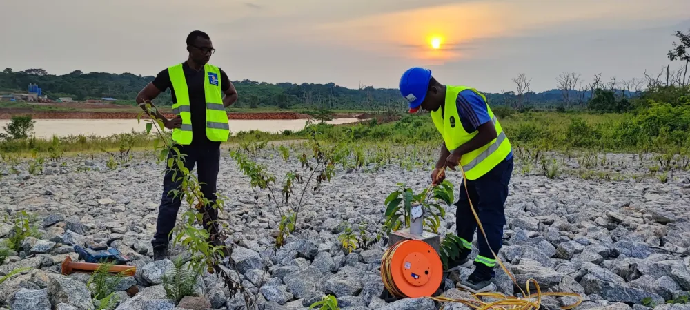
Environment & agriculture

Public services & essential infrastructure

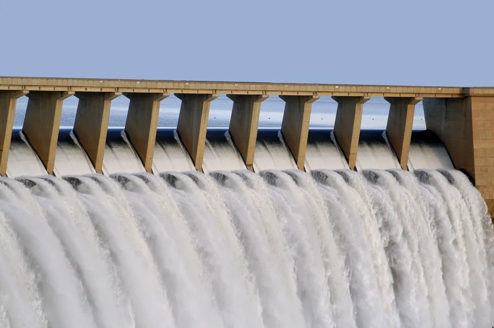
Energy

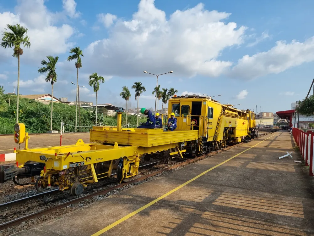
Transport, mobility & logistics